| Description :Name of Borrower (s)/Guarantor(s): 1) M/s Aadhith Food
Marketing (Borrower), a Proprietorship concern rep by its Proprietor, having office at 10 62
Kunnangalpalayam, Karaipudur, Veerapandi Post, Tirupur–641605, 2) Mr E Balasubramaniam
(Proprietor), S/o Eswaramoorthy, No.10 62 Kunnangalpalayam, Karaipudur Veerapandi Post,
Tirupur – 641605 and 3) Mrs Nivedha Somasundaram (Guarantor), W/o E Balasubramaniam,
No.3/302A, Thandakaran Thottam, Vavipalayam, Kettanur, Palladam – 641671.
Total outstanding is Rs.30,37,752.05 (Rupees Thirty Lakhs Thirty Seven Thousands Seven
Hundred & Fifty Two and Paise Five Only) as on 30.04.2025 with further interest, Costs,
other charges and expenses thereon.
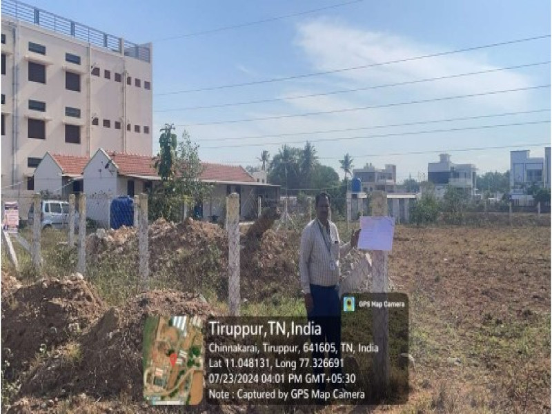
Mortgaged Asset : In Tirupur Registration District, Palladam Sub-Registration District, Palladam
Taluk, within the limits of Palladam panchayat union and Karaipudur village panchayat
board, Karaipudur village, in GS No.212/2 lands measuring 3.43 acres @ Rs.5.13 since
subdivided as GS No.212/2B1 lands measuring 0.95 acres (or) 0.385 hectares @ Rs.1.63 in this
lands measuring 0.27 acres (or) 0.110 hectares @ Rs.0.46 situated within the following
boundaries:-
North to lands measuring 0.24 acre owned by Chinnasamy in the same survey field.
South to common use well land measuring 0.09½ acre in the same survey field.
West to South-North common pathway land measuring 0.03½ acre in the Eastern part of
the same survey field (referred below)
East to Odai Purampoke
Amidst this the lands measuring 0.27 acres (or) 0.110 hectares @ Rs.0.46.
Further in the same survey field common use pathway lands measuring 0.03½ acre situated
within the following boundaries:-
West to below mentioned common use land measuring 0.01¾ acre
East to Odai Purampoke
South to land in GS No.212/2A2 North to above mentioned lands measuring 0.27 acres in GS No.212/2B1
Amidst this the common use passage lands measuring 0.03½ acre @ Rs.0.03 in this common
1/3 share measuring 0.01¼ acre (or) 0.005 hectare @ Rs.0.01.
Further in the same survey field common use well land measuring 0.05½ acre situated within
the following boundaries:-
North to above mentioned lands measuring 0.27 acres
South and West to land in GS No.212/2A2
East to Odai Purampoke
Amidst this the land measuring 0.05½ acre (or) 0.040 hectare in this common 1/3 share
measuring 0.01¾ acre in this common 1/3 share measuring 0.00 ½ acre (or) 0.005 hectare @
Rs.0.01 along with common 1/3 share in the thurasthu well and common 1/3 share in the
vaari vaikkal etc.,
Further in the same survey field 30 ft wide South-North pathway land measuring 0.13½ acre
situated within the following boundaries:-
East to Eastern part lands owned by Chinnasamy, Rathinavel and above mentioned
lands in the same survey field
West to share of land owned by Muthulakshmi and others in GS No.212/2B2
South to share of land owned by Thirunavukkarasu in GS No.212/2A2
North to East-West road in GS No.211
Amidst this 30 ft wide South-North pathway land measuring 0.13½ acre in this common 2/5
share measuring 0.05½ acre @ Rs.0.09 in this common 0.02 acre (or) 0.008 hectares of land.
Thus the total lands admeasuring 0.30¾ acres (or) 0.128 hectares @ Rs.0.51 (as per latest
revenue sub-division the above land forms part of GS No.212/2B1 lands measuring 0.3850
hectare in patta No.1179) and rights to use the 30 ft wide South-North common pathway
land measuring 0.13½ acre and mamool pathway rights to reach the property.
|
 11000000